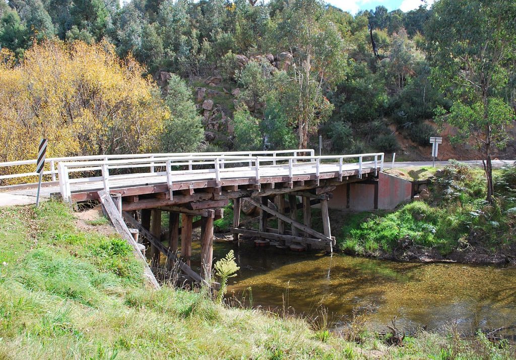
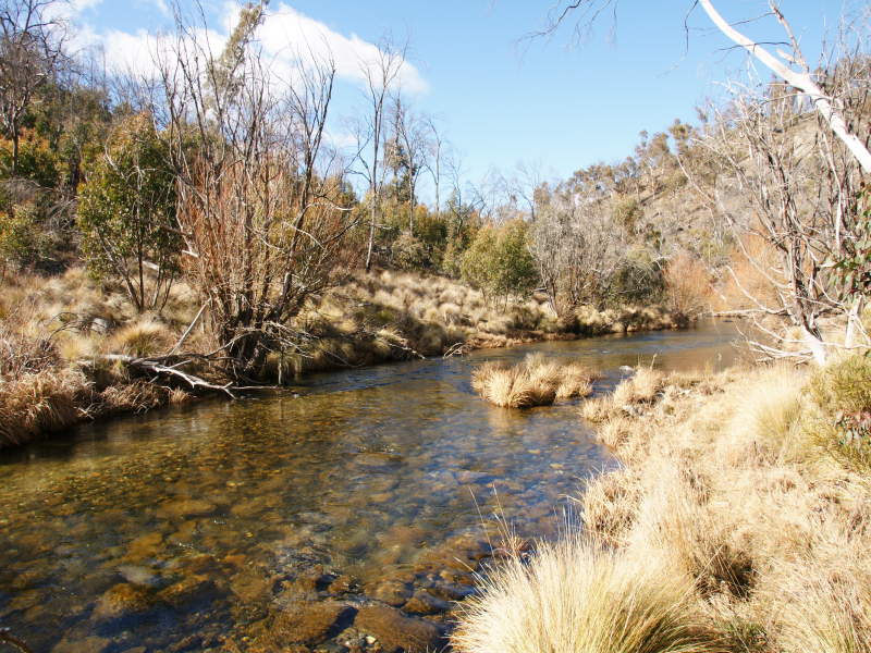
COBUNGRA RIVER
Excerpts from The Boundaries of “Jaithmathang Country — An Exploration of Ethnohistorical Sources” – Prepared by: Jacqui Durrant Ph.D
Description of the boundaries of Jaithmathang Country
Yaitmathang country stretches westwards to Mount Bogong and the Bogong High Plains via the Mitta Mitta River and its sources (the Big, Bundara, and Cobungra Rivers). This includes country above the snow-line on the Bogong High Plains, including most notably the area of Mount Cope, and by extension, additional bogong moth aestivation sites on Mount Bundara and Mount Jim.
These Bogong High Plains are geographically delineated to the south by the upper valley of the Cobungra River, and to the east by the Kiewa River west branch.
Alfred Currie Wills, 1858
In terms of his geographical description, Wills’ phrase ‘Westwards towards the Bogong mountain range, via the Gibbo and Mitta Mitta Rivers’ requires explanation: The Gibbo River is a tributary of the Mitta Mitta River, flowing into it just north of Benambra. To head in the direction ‘westwards’ from this point is to follow the Mitta Mitta up-stream towards its sources (the Big, Bundara and 31 Report of the Select Committee of the Legislative Council on the Aborigines, John Ferres, Government Printer, Melbourne, 1859, p.77.
32 Report of the Select Committee of the Legislative Council on the Aborigines, John Ferres, Government Printer, Melbourne.
33 There was a camping ground at the confluence of the Snowy Creek and Mitta Mitta Rivers at Mitta Mitta township.
34 A. C. Wills, in Report of the Select Committee of the Legislative Council on the Aborigines, op cit., p.26.
Cobungra Rivers) which flow from the eastern and southern fall of the Bogong High Plains, entering the Mitta Mitta in proximity to Angler’s Rest. On the basis of Wills’ description it is a matter of interpretation to say how far west (ie: into the Alps) Yaitmathang country reaches, depending on how one interprets what it means to reach to those ranges.
The full statement by Jacqui Durrant Ph.D can be read at www.jaithmathang.com.au