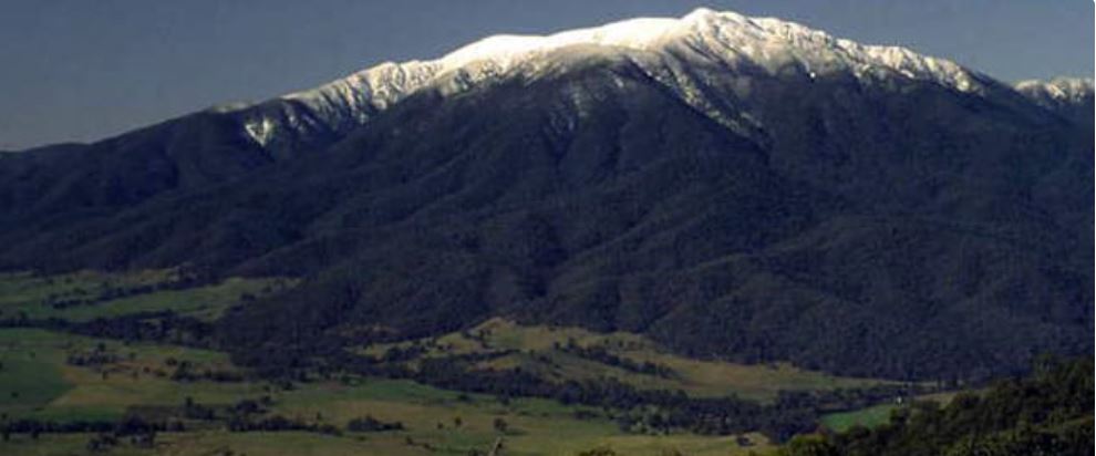
MOUNT BOGONG
Excerpts from The Boundaries of “Jaithmathang Country — An Exploration of Ethnohistorical Sources” – Prepared by: Jacqui Durrant Ph.D
Description of the boundaries of Jaithmathang Country
Yaitmathang country stretches westwards to Mount Bogong and the Bogong High Plains via the Mitta Mitta River and its sources (the Big, Bundara, and Cobungra Rivers). This includes country above the snow-line on the Bogong High Plains, including most notably the area of Mount Cope, and by extension, additional bogong moth aestivation sites on Mount Bundara and Mount Jim.
These Bogong High Plains are geographically delineated to the south by the upper valley of the Cobungra River, and to the east by the Kiewa River west branch.
Stella Carr, 1962
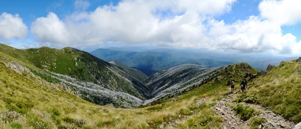
Additional contextual information regarding Carr’s reportage is that the routes up to the Bogong High Plains which have an easiest gradient come from the eastern side rather than the west. Aside from the route along the Bundara high tops, another traditional route which accesses Mount Bogong from the Big River travelling up ‘Long Spur’ to what is now Cleve Cole Memorial Hut and the Rocking Stone Saddle, is also accessed from the west. Arguably, these traditional ‘easy access’ routes that commence in core Yaitmathang country, are suggestive of the Bogong High Plains and Mount Bogong as comprising a part of traditional Yaitmathang lands. Archaeological evidence may further substantiate this concept.87
The full statement by Jacqui Durrant Ph.D can be read at www.jaithmathang.com.au