MOUNT COPE
Excerpts from The Boundaries of “Jaithmathang Country — An Exploration of Ethnohistorical Sources” – Prepared by: Jacqui Durrant Ph.D
Description of the boundaries of Jaithmathang Country
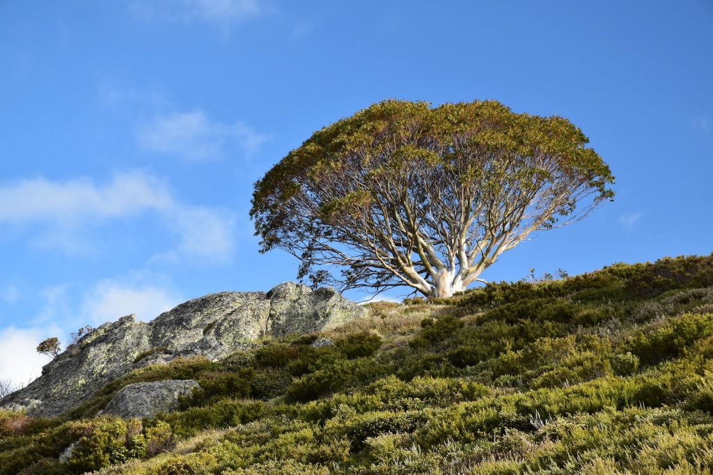
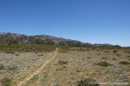
Yaitmathang country stretches westwards to Mount Bogong and the Bogong High Plains via the Mitta Mitta River and its sources (the Big, Bundara, and Cobungra Rivers). This includes country above the snow-line on the Bogong High Plains, including most notably the area of Mount Cope, and by extension, additional bogong moth aestivation sites on Mount Bundara and Mount Jim
Stella Carr, 1962
Aside from indicating that the Yaitmathang traversed the Bogong High Plains, this account recorded by Carr also refers to Mount Cope as a discrete destination on the Bogong High Plains, which is given additional significance by the fact that archaeological excavation and study of at least one rock shelter at Mount Cope suggests first nations usage of this site dating back to antiquity.
The full statement by Jacqui Durrant Ph.D can be read at www.jaithmathang.com.au