NATIVE DOG FLAT CAMPGROUND
Excerpts from The Boundaries of “Jaithmathang Country — An Exploration of Ethnohistorical Sources” – Prepared by: Jacqui Durrant Ph.D

Description of the boundaries of Jaithmathang Country
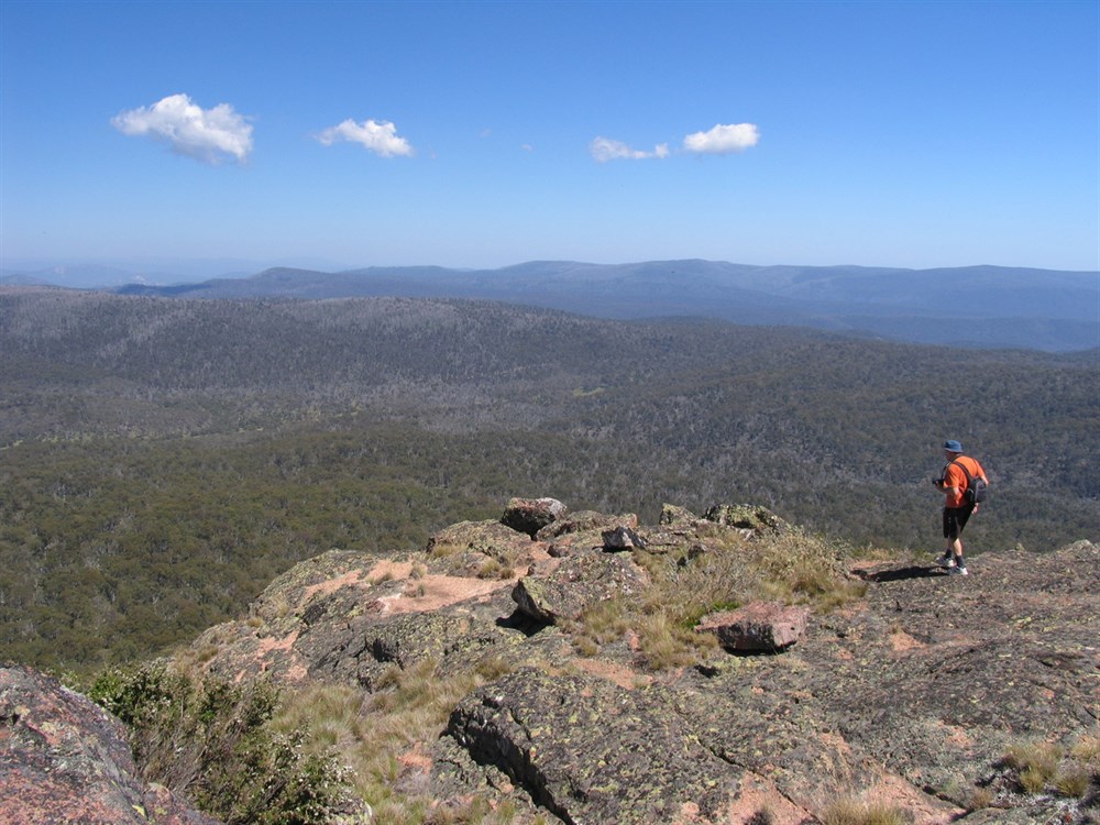
Yaitmathang country stretches east and north-east as far as the valley of the Limestone River (Creek), to its confluence with the Indi (upper Murray) River, including country around Tom Groggin. It is also documented as extending to the high tops of the Cobberas Range. Beyond the Coberras peaks, Yaitmathang country met a dividing line at The Playgrounds (east of Native Dog Flat).

George Augustus Robinson
During his stay on the Omeo plains, and further along the trip in which he was hence accompanied by Bit.to.loit,23 Robinson was also told the first nations toponyms for a number of geographically prominent locations within Yaitmathang country. These included ‘Tanbo’ (Mount Tambo) and ‘In.ne.now: name of the Play Ground.’24 Robinson recorded in his journal, ‘The dividing range that separates Gippsland from Maneroo is between Mount Linster [Leinster] and limestone dividing range between Buckin [Buchan] and Snowy River is at play ground [The Playgrounds].’25 Given in context in which Robinson learns that The Playgrounds (located on the south side of the present-day Cobeeras FWD Track just east of Native Dog Flat, formed a significant dividing line between the Buchan River (‘Yatemittong’) and the Snowy River (ie: ‘Wore.rare.rer.mittong’). This information has been passed on to Robinson quite possibly from a Yaitmathang perspective (seeing as Bit.to.loit was his local guide), and offers a definite landmark for the outer boundaries of Yaitmathang country.
The full statement by Jacqui Durrant Ph.D can be read at www.jaithmathang.com.au