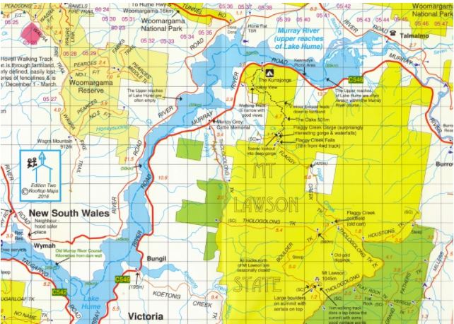
LIMESTONE RIVER - UPPER MURRAY
Excerpts from The Boundaries of “Jaithmathang Country — An Exploration of Ethnohistorical Sources” – Prepared by: Jacqui Durrant Ph.D
Description of the boundaries of Jaithmathang Country
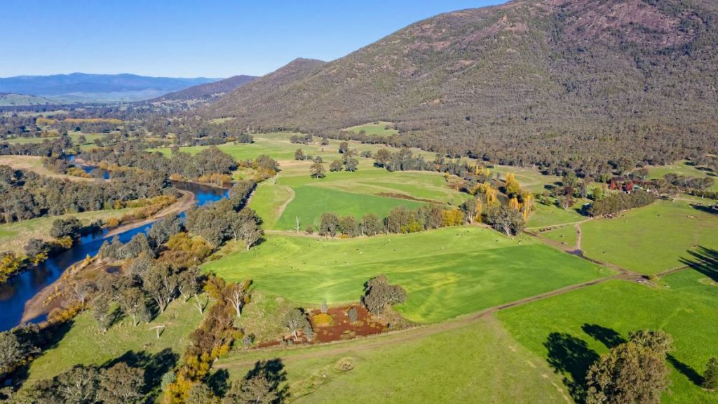
Yaitmathang country stretches east and north-east as far as the valley of the Limestone River (Creek), to its confluence with the Indi (upper Murray) River, including country around Tom Groggin. It is also documented as extending to the high tops of the Cobberas Range. Beyond the Coberras peaks, Yaitmathang country met a dividing line at The Playgrounds (east of Native Dog Flat).
Alfred William Howitt, The Native Tribes of South-East Australia, 1904
Howitt’s description of Yaitmathang contained in The Native Tribes of South-East Australia appears in the section on ‘Tableland Tribes’, and reads as follows:
‘The Ya-itma-thang, commonly called the Omeo tribe, were divided into two sections—(a) the Theddora-mittung, occupying the sources of the Mitta Mitta River and its tributaries down to about the Gibbo Mountain, the Upper Kiewa River and the Ovens River to the Buffalo Mountain, thus being the neighbours of the Mogullum-bitch… (b) The Kandangora-mittung, who lived on the Omeo Plains, the Limestone River down to its junction with the Indi [aka: Murray] River, and the Tambo River to Tongiomungie.
The full statement by Jacqui Durrant Ph.D can be read at www.jaithmathang.com.au